Side Event at EU Pavillion Copernicus Land Monitoring Services
Updated: Aug 19
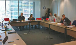
During the COP25 in Madrid, the DG GROW and JRC organized a Side Event at the EU Pavillion on December 5th to present the Copernicus Land Monitoring Service in support of global forest, inland water and urban adaptation themes.
The Session was opened by Mr. Hugo Zunker from DG GROW, European Commission, who provided an overview of the Copernicus programme; he reviewed the current scope of the European Union Space Programme, planned budget for the next funding cycle from 2020 onwards, as well as the link between the global Core products/services and downstream products. It is important to note that the Commission requires that operational products/services, are quality controlled so that there is a reliability of the data, and the products/services are driven by the user needs and policy requirements.
This presentation was followed by an overview of the Copernicus Global Land component by Dr Mark Dowell from the Joint Research Centre, European Commission. He provided a summary of the main global service elements which include the Biophysical Variables, Ground-Based Observations for Validation, Hot Spot Monitoring and Sentinel 2 Global Mosaics. The technical specifications of these products and examples of how each product has been used for policy implementation were described; examples include the use of the biophysical variables for the assessment of surface water bodies, both in surface water extent and water quality, which are used for SDG 6 Indicator reporting at Tier 1. He noted that that whilst the current suite of global products were based on coarse resolution EO data, there is a proposed evolution towards producing higher resolution global products with advent of the Sentinel 2.
Dr Dowell introduced the topic of research and development related to the evolution of Copernicus services is supported by the EU via the Horizon 2020 programme. In this context, in the EU Side event, there were two main presentations that focused on the activities from the Horizon 2020 project REDDCopernicus.
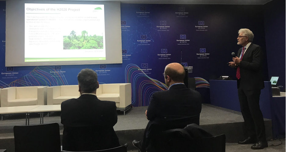
Dr Thomas Häusler, REDDCopernicus Coordinator, GAF AG, Germany, presented the overall project objective which is to define an end-to-end operational system for REDD+ Component including organisational and technical specifications. The project logic and planned activities were described; it was noted that the first main activities focused on a policy and user requirements via an extensive survey and a stakeholder workshop.
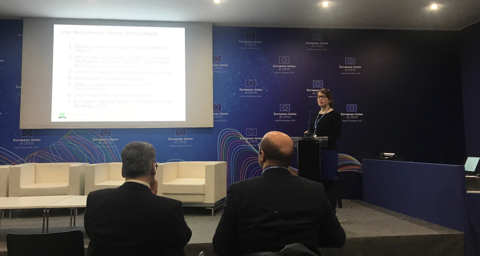
The results of the survey were presented by Dr. Sarah Carter from Wageningen University; results of the user needs for such a service would be to have Forest change data at <30 m at least every 3 years and regularly updated, Information on forest types and land use change, biomass information, and the quality of national data should be at Tier 2+3 (as recommended by the IPCC GPG).
Dr Haeusler finally presented the current status of the project which was the initial design of the REDD+ component that would include selected European technological developments including forest status maps, forest change maps, and the offer of tools on various Platforms. He concluded by stating that the design elements will be presented to counterparts in SE Asia, Africa (3 Regions) and L. America in the first half of 2020. The user feedback and validation will be important for finalization of the technical framework for the Copernicus REDD+ Component. And finally, the potential downstream EO-forest monitoring products/services based on national circumstances is an important next step for further elaboration in 2020.
By Peter Navratil
